Approximately 130 KM (81 miles) from Vancouver, British Columbia. Hiking time round trip- 7 to 8.5 hrs.
To Statlu Lake round trip roughly 5KM (3.1 miles), elevation gain-215M (703 feet).Best time is usually June to October.
To Upper Lake round trip roughly 8KM (5 miles), elevation gain-610 meters (1995 feet). Best time is usually July to October.
Directions: Statlu Lake is located north west of Harrison Hot Springs. To reach Statlu Lake requires following a series of rough gravel forest service roads. The original route used the Chehalis Forest Service road which has been closed due to a landslide. This was the route used in 2000/2001 as described in "103 Hikes 5th edition" which now will not work due to the slide. Understand the new access uses logging roads coming in from the west side of Harrison Lake. There may be up to date directions on the Internet. Directions that include GPS way points and route photographs would be very useful. There are a number of logging roads in this area and it is easy to get confused. Especially if one is driving back after sunset.
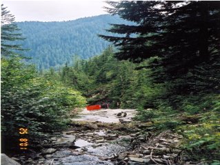
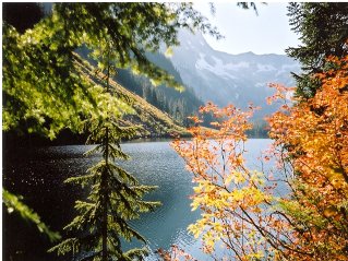
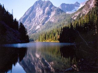
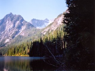
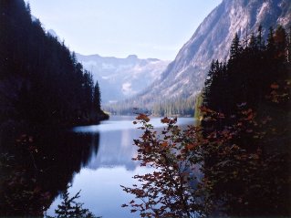
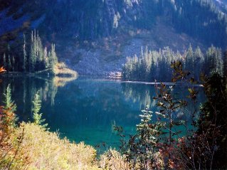
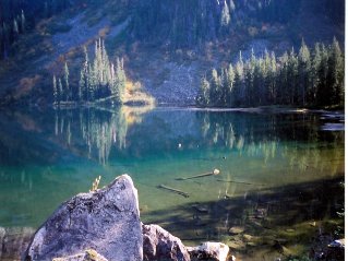
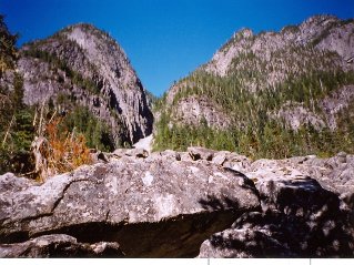
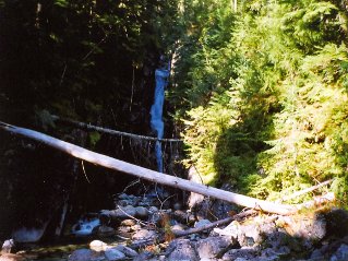
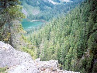
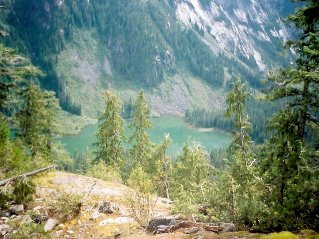
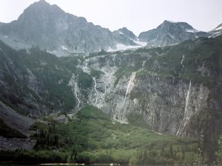
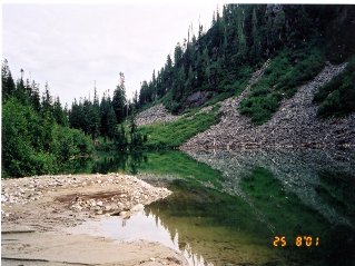
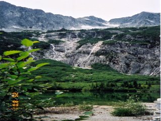
The trail itself requires one to be very careful. It is rough and rocky, especially around the lake. The rocks can get very slippery making it easy to fall. The best time to do this trail is during a period of dry sunny days. There is one spot that requires extreme caution. High above the river the trail crosses a gully near a waterfall. Stay away from the flat rock area and cross higher up. At the edge of this flat rock area is a sheer long drop that cannot be seen from the trail. The flat rock area can be as slippery as black ice. One could slip and get into an fatal slide over the edge. Fatal accidents have happened here. There was a sign warning of extreme danger back in 2001. This sign may or may not be still there. See the photograph below. The trail follows the north side of the lake and comes to a fork in the forest at a creek with falls on the right. The left fork goes to the far end of Statlu Lake and the Upper Chehalis River. The right fork is the Brotherhood Trail. This trail climbs to a bluff which provides an excellent view. The trail continues on beyond the bluff to a very scenic small lake in a mountain bowl. The trail in 2001 was overgrown and difficult to follow in places. The photos below from 2000/2001 show parts of the trail and some of the viewpoints.
Statlu Lake 2000/10 2001/08 |

|

|

|

|

|

|

|

|

|

|

|

|

|

|