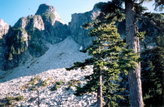
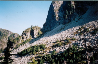
Approximately 40 KM (25 miles) from Vancouver, British Columbia. Hiking time round trip- 7 to 8 hrs. Round trip roughly 15 KM (9.3 miles), elevation gain-1280M (4186 feet). Best time is usually July to October.
This trail is best hiked on a sunny day. Otherwise the views could be very limited by fog.
Directions: From Vancouver drive north on Highway 99 to Lions Bay which is a short distance north of Horseshoe Bay. Take the first exit into Lions Bay and get on Oceanview Road. Make a left turn onto Cross River Road which will cross over Harvey Creek. Turn right onto Centre Road and then turn left onto Bayview Road. Next make a left onto Mountain Drive and turn left onto Sunset Drive. Sunset Drive leads to a gate that used to have some parking spots on the right side. The trail starts at the gate. Note: Do not park illegally. Vehicles will be towed to North Vancouver. If the parking area is full there used to be additional parking at the elementary school about 1KM (0.6 mile) away on Mountain Drive.
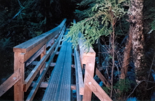
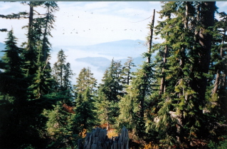
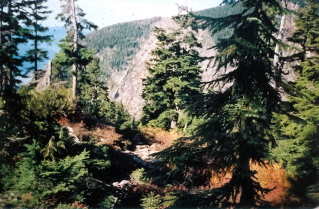
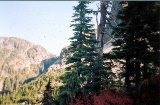
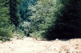
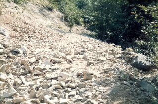
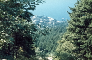
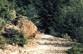
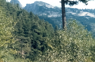
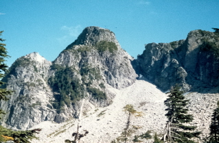
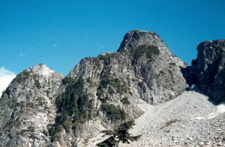
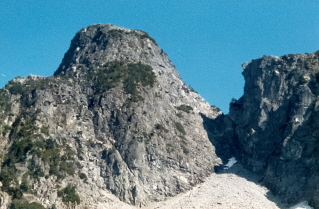
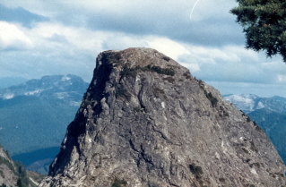
Follow the gravel road after the gate and the road will start climbing after few minutes. The hike up this road will take over an hour. At the first two forks take the right fork (the left fork at the first junction goes to Mt Harvey). Now watch for a junction where there should be a sign on the right pointing towards the Lions. Take this narrow trail which leads to a bridge crossing Harvey Creek. The trail now climbs through the forest coming out onto a ridge. From this ridge assuming it is a sunny day there is great views of the Lions and Howe Sound. To the south there is a view of Unnecessary Mountain and Vancouver. Note where the trail exit from the ridge is for the return trip. It is easy to lose the trail markers on this ridge. The trail continues along the ridge to a high point (Howe Sound Crest). This is a good end point. From here the trail to the Lions Peaks becomes very dangerous and should be left to experienced climbers. People have perished trying to climb the Lions Peaks.
GPS Data: Right click on link to bring up menu to download (save) file.
Binkert (Lions) Trail 2003/10 |

|

|

|

|

|

|
Binkert (Lions) Trail 1986/08 |
|
|
|
|
|
|
|
|
|