Mountain Hiking Trails South Western and Okanagan regions British Columbia, Canada

Reserved for
future use


Home Chilliwack  Hope Pemberton  Penticton Squamish  Vancouver Whistler

Penticton Mountain Trails- Sheep Rock

Sheep Rock: Elevation 2132 meters (6972 feet)

Approximately 38 KM (23.6 miles) from Penticton, British Columbia. Hiking time round trip- 5 to 6 hrs. Best time is usually July to September.
There is a choice of two routes to Sheep Rock. Both routes have several trail intersections which can be confusing especially on the return. Best note or mark which intersection to take on the way back.

Route 1:Round trip roughly 9KM (5.6 miles), elevation gain-487M (1592 feet).
Route 2:Round trip roughly 11KM (6.8 miles), elevation gain-575M (1882 feet).

Route 1 directions: This trailhead for Sheep Rock is part way on the route to Brent Mountain via Apex Mountain Road. From Penticton drive west on Green Mountain Road. Turn right onto Apex Mountain Road. Drive approximately 4KM (2.5 miles) climbing Apex Mountain Road to a logging road that enters on the right side around the 4KM mark. The logging road may be blocked off part way in especially if the fire risk in the area is high. Turn right onto this logging road, drive 3.7KM (2.3 miles) and turn left onto an intersecting road, heading up. Drive approximately 3KM (1.9 miles) on this road watching for a blue sign on the left marked Brent Mountain Sheep Rock Trailhead. The trail leads down to a creek, crosses the creek and heads up through thick forest. The forest eventually becomes a mix of forest and meadows. See Sheep Rock Route 1: 2010/07 pictures and route 1 GPS data.

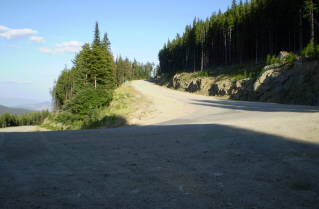
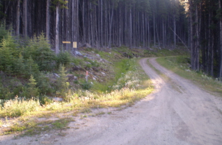
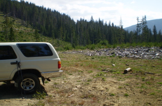
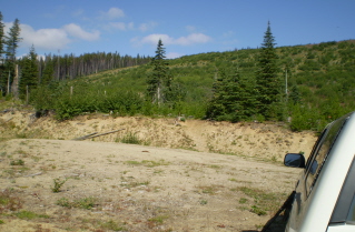
Route 2 directions: From Penticton drive west on Green Mountain Road. Turn right onto Apex Mountain Road. Drive approximately 7.84KM (4.8 miles) climbing Apex Mountain Road to a sharp switch back. A gravel logging road starts on the right side part way through the switch back. Turn right onto this logging road, drive a short distance in to the first fork. Take the right fork which heads downhill and over a short wooden bridge. There is a large logged out clearing where one can park. The trail which is unmarked starts on the north side of the road. It leads over to the creek where it goes uphill beside the creek for much of the way to Sheep Rock.
See Sheep Rock Route 2: 2009/08 pictures and route 2 GPS data.

GPS Data for routes 1 and 2: Right click on link to bring up menu to download (save) file.

Sheep Rock Route 1 GPS GPX format-Zipped.   Sheep Rock Route 1 GPS TXT format.    Sheep Rock Route 2 GPS GPX format-Zipped.   Sheep Rock Route 2 GPS TXT format.

Sheep Rock Route 1: 2010/07

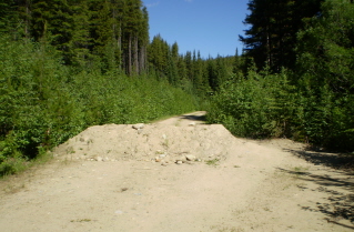
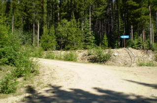
Entrance to logging road to Sheep Rock & Brent Mtn apprx 4 KM up Apex Mtn Road 2010-07. Entrance to logging road to Sheep Rock & Brent Mtn apprx 4 KM up Apex Mtn Road 2010-07. Road squeezes by barrier on logging road to Sheep Rock & Brent Mtn trail 2010-07.
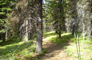
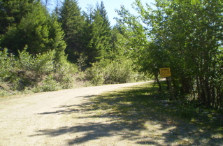
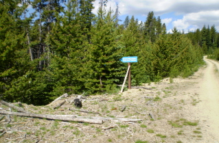
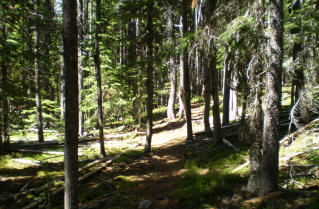
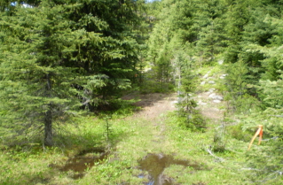
Take road on left at the sign pointing to Brent Mtn trail 2010-07. Sign at Sheep Rock trail head 2010-07. From trail head trail climbs through thick forest, Sheep Rock Trail 2010-07.
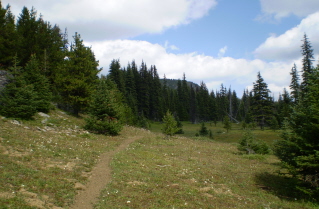
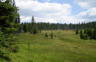
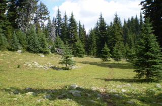
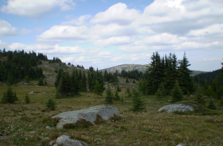
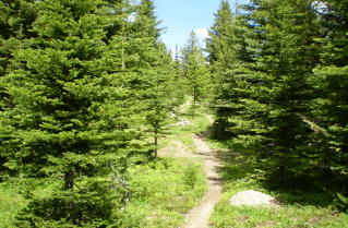
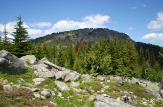
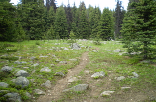
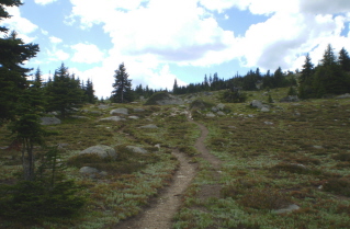
Higher up the forest starts to open up, Sheep Rock trail 2010-07. Sheep rock in the distance, Sheep Rock trail 2010-07. Trail becomes a mix of forest and meadows, Sheep Rock Trail 2010-07.
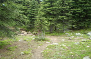
Trail continues on other side of wet area, took left trail on other side, Sheep Rock trail 2010-07. Fork in trail, did not cross creek, took trail on right, Sheep Rock trail 2010-07. Trail on right at fork heads towards Sheep Rock, Sheep Rock Trail 2010-07.
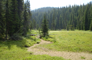
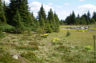
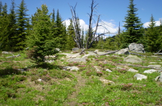
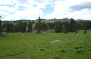
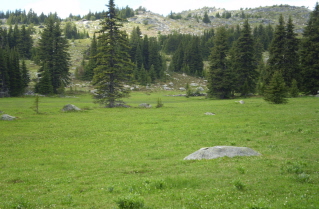
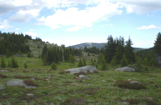
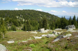
Trail leads into large meadows beside Sheep Rock, Sheep Rock trail 2010-07. Trail winds through meadow towards Sheep Rock, Sheep Rock trail 2010-07. Trail heads up Sheep Rock, Sheep Rock Trail 2010-07.
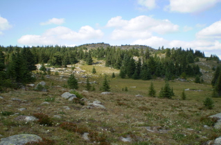
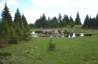
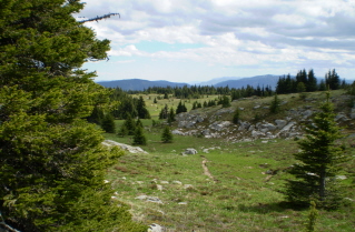
Looking north east at Brent Mtn in the distance, Sheep Rock trail 2010-07. Small pond in a meadow on Sheep Rock, Sheep Rock trail 2010-07. Higher up Sheep Rock looking back at the trail through the meadows, Sheep Rock Trail 2010-07.
Looking west at Apex Ski Resort in the distance, Sheep Rock trail 2010-07. Looking to the south coming back down from Sheep Rock where the trail heads into the forest, Sheep Rock trail 2010-07.

Sheep Rock Route 2: 2009/08

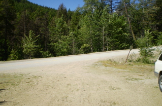
Switch back on Apex Mtn Road from entrance to side road to Sheep Rock trailhead 2009-08. Start of side rock to Sheep Rock trail head 2009-08. Clearing by the Sheep Rock trail head 2009-08.
Start of the Sheep Rock trail 2009-08. Climbing up through the forest on the Sheep Rock trail 2009-08. Crossing a meadow with a small lake on the Sheep Rock trail 2009-08.
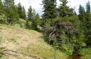
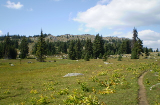
Trail running beside the creek on the way to Sheep Rock 2009-08. Sheep Rock in the distance 2009-08. Crossing the edge of a large meadow on the trail to Sheep Rock 2009-08.
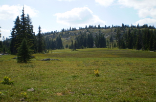
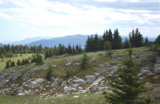
Taking the north trail to Sheep Rock at a junction with an east trail 2009-08. Crossing the meadows below Sheep Rock 2009-08. Part of the ridges leading to Sheep Rock 2009-08.
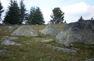
Small pond in a meadow in the area of the Sheep Rock summit 2009-08. Looking east from Sheep Rock towards Brent Mountain 2009-08. Area around the Sheep Rock summit 2009-08.
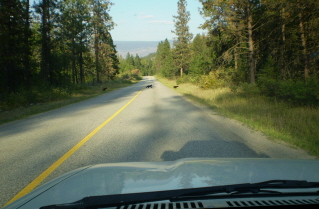
Large rodent watching from the top of a boulder near Sheep Rock summit 2009-08. Bear cubs crossing Green Mountain Road on return from Sheep Rock 2009-08.


Home Chilliwack  Hope Pemberton  Penticton Squamish  Vancouver Whistler