Approximately 120 KM (74.5 miles) from Vancouver, British Columbia. Hiking time-Cypress Lake 5 to 6 hrs, round trip
roughly 14 KM (8.7 miles), elevation gain-305M (997 feet).
Tricouni Peak 8 to 9 hrs, round trip roughly 27 KM (17 miles), elevation gain-915M (2992 feet).
Best time is usually July to September.
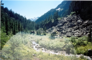
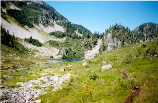
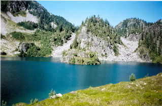
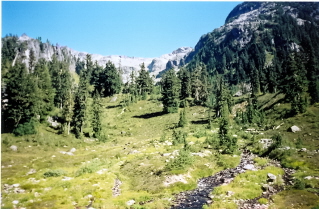
This trail is best hiked after a period of dry weather which should give the mud on the first part of the trail time to dry up a bit. Otherwise be prepared for "pull your boots off" mud on the section of the trail leading to the first lake. However it is worth getting muddy for the scenery found at Tricouni Meadows.
Directions: The trailhead is hard to find. Used the directions from 103 Hikes 5th edition which worked. From Vancouver drive north on Highway 99 to Squamish. At Squamish set the odometer to zero at the Cleveland Avenue Traffic lights. Drive north for 10Km (6.2 miles) to the intersection of Squamish Mountain Road with Highway 99. Turn left onto Squamish Mountain Road. At 13KM (8.1 miles) there is a fork, stay to the left. The road eventually becomes a gravel road called S-Main. At 38KM (23.6 miles) shortly after crossing High Falls Creek bridge there will be a road called Branch 200 on the right. Try to find out what the condition the roads from this point on are. They were quite rough and may now be impassable. A high clearance 4W drive is recommended. Again zero the odometer. The road (Branch 200) heads uphill. At 2.3KM (1.4 miles) take the right fork. At 6.0KM (3.7 miles) take the right fork. At the next forks stay to the right until the fork at 6.9KM (4.3 miles) where the left fork is taken. If this left fork is missed a bridge over High Falls Creek will show up a short distance past the missed left fork. At 8.0 KM (5.0 miles) there will be a road on the left, turn onto this road. The trail head is 2.5 KM (1.6 miles) from this turnoff at 10.5 KM (6.5 miles). Drive as far as safely possible. Depending on conditions and the vehicle it may be possible to drive right to the trailhead.
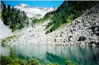
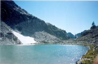
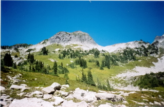
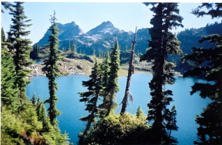
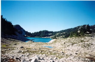
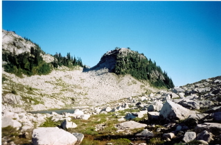
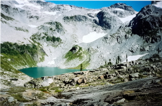
Tricouni Meadows 2001/09 |

|

|

|

|

|

|

|

|

|

|

|

|