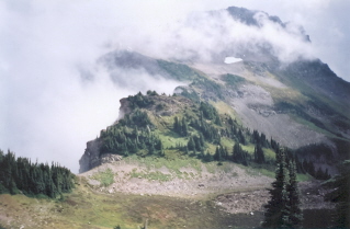
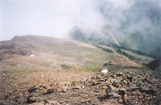
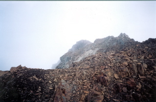
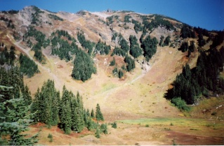
Mountain Hiking Trails South Western and Okanagan regions British Columbia, Canada
Reserved for
future use
Home Chilliwack
Hope Pemberton
Penticton Squamish
Vancouver Whistler
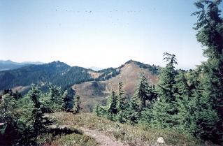
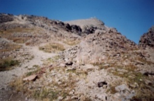
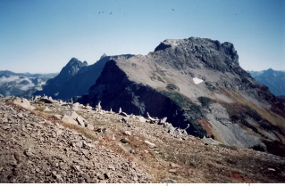
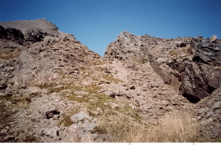
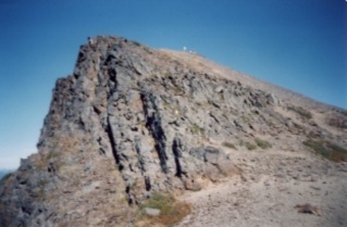
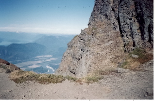
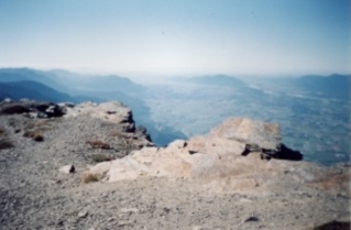
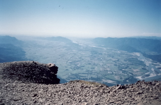
Chilliwack Mountain Trails- Cheam Peak
Cheam Peak: Elevation 2106 meters (6887 feet)
Approximately 150 KM (93 miles) from Vancouver, British Columbia. Hiking time round trip- 4 to 6 hrs.
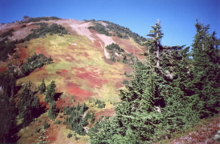
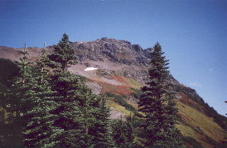
Round trip roughly 10 KM (6.2 miles), elevation gain-676 Meters (2211feet). Best time is usually July to October. Steep hike but very scenic.
Directions: Note: The roads off Chilliwack Lake Road to the Cheam Peak parking area are very rough, rocky gravel logging roads best traveled
by vehicles with heavy duty tires and good clearance such as trucks or 4-wheel drives.
From highway 1 take the exit into Chilliwack. Drive to Chilliwack Lake Road and turn left at the bridge crossing
Chilliwack River onto Chilliwack Lake Road. Do not cross the bridge. Roughly 28 KM (17.4 miles) down Chilliwack Lake Road there will be a
sign on the left marking the Chilliwack-Foley service road. Turn left onto this gravel road. About 2 KM (1.2 miles) in cross Foley creek
go left at the junction. After crossing Chipmunk Creek go about 2 KM (1.2 miles) and turn right onto Chipmunk Creek Forest Road.
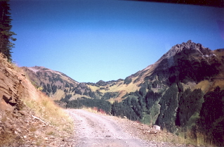
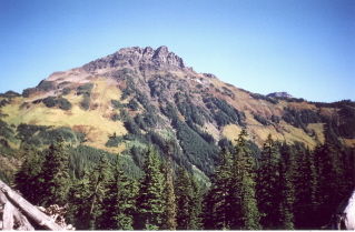
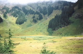
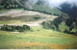
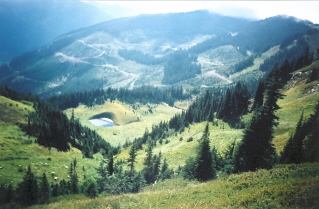
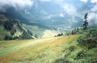
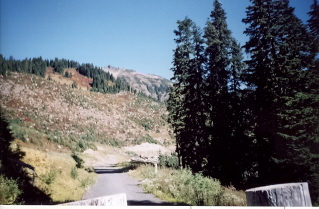
Travel about 7 KM (4.4 miles) on Chipmunk Creek Forest Road. Now go right on a another logging road for about 4 KM (2.5 miles) which will bring Mt Cheam and the alpine meadows into view.
The road ends at a barrier which is the parking area. The trail to Mt Cheam starts here.
GPS Data: Right click on link to bring up menu to download (save) file.
Home Chilliwack
Hope Pemberton
Penticton Squamish
Vancouver Whistler
